
mardi 7 mai 2019






dimanche 14 avril 2019


Apr 14, 2019 1300 UTC Day 1 Convective Outlook
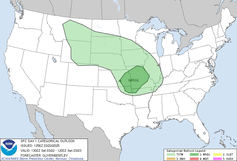
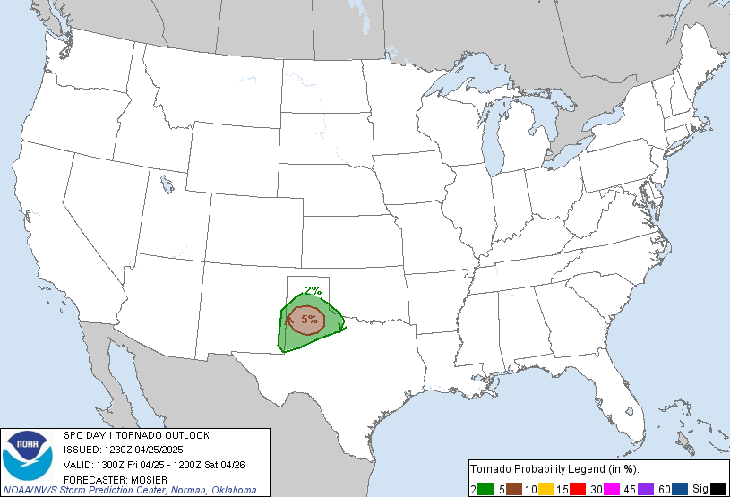
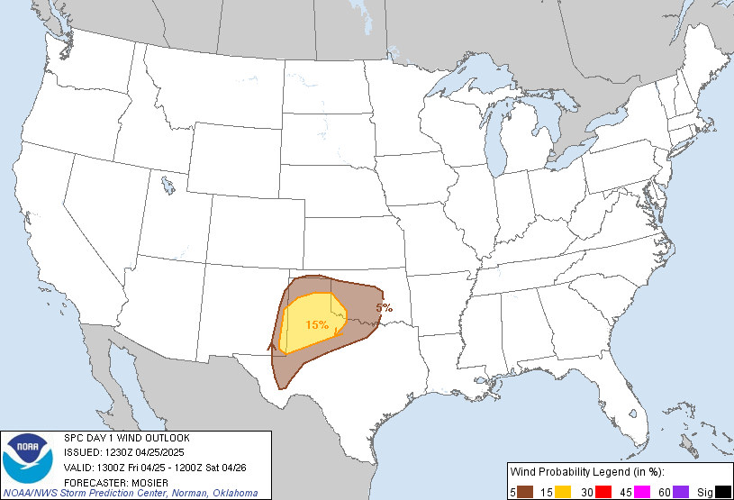
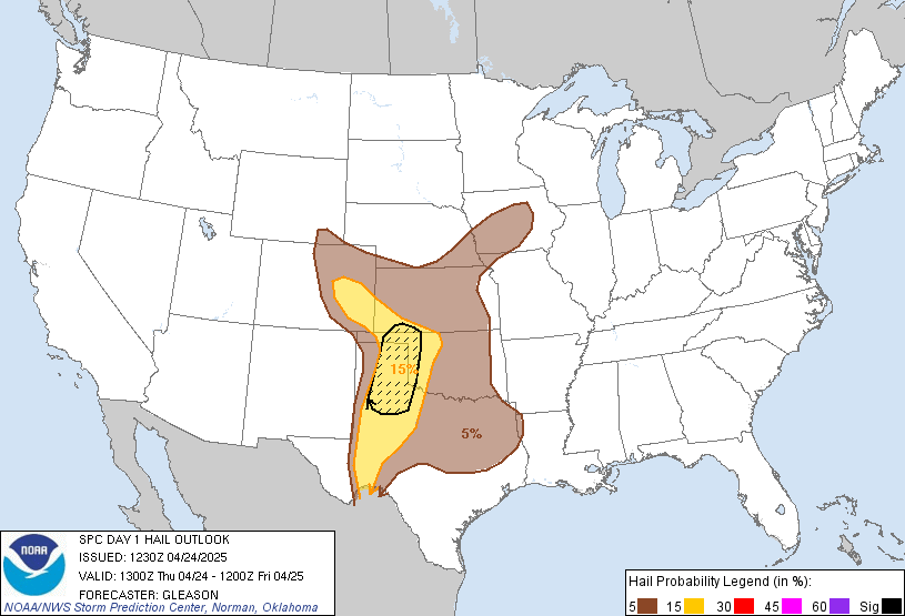 Day 1 Convective Outlook
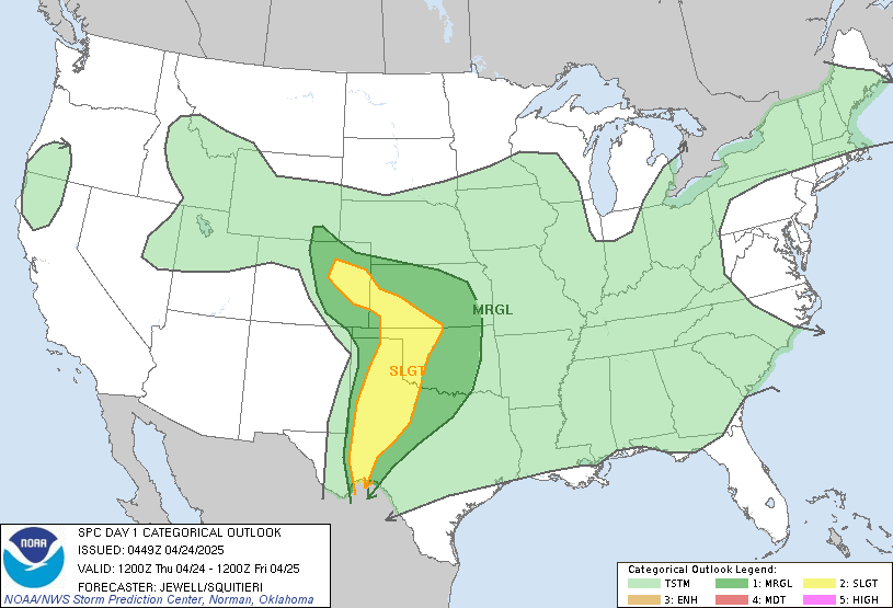
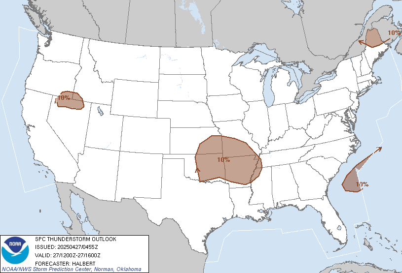
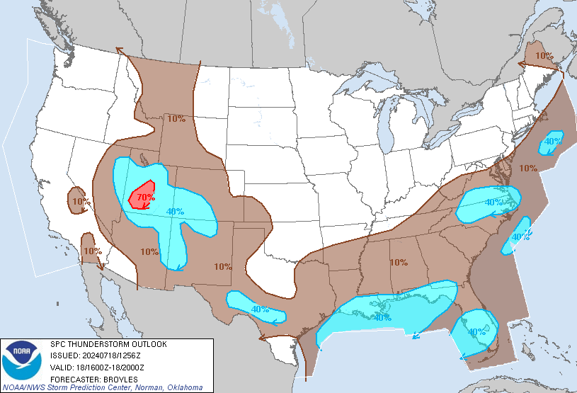
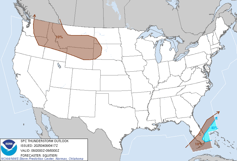
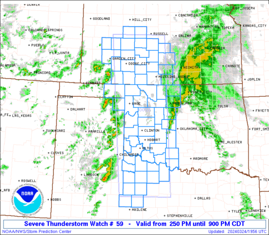
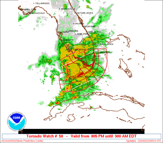
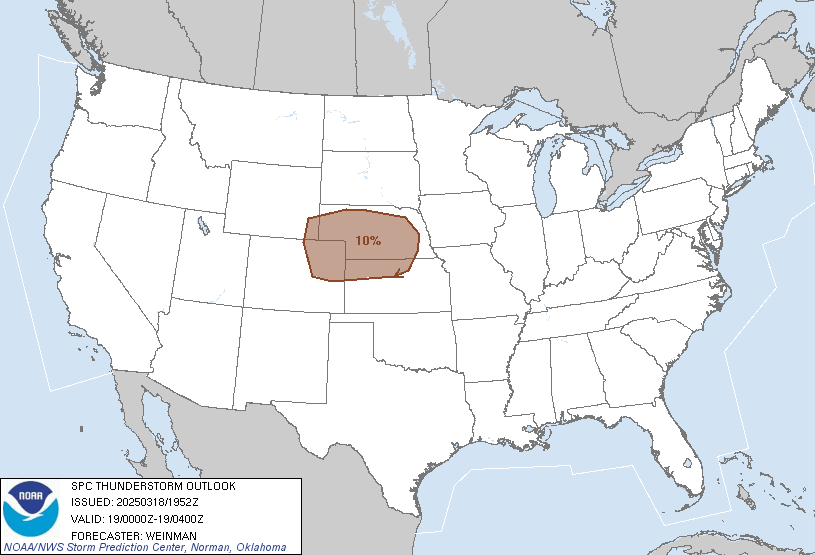
 NWS Storm Prediction Center Norman OK 0752 AM CDT Sun Apr 14 2019 Valid 141300Z - 151200Z ...THERE IS AN ENHANCED RISK OF SEVERE THUNDERSTORMS FROM THE WESTERN CAROLINAS TO PORTIONS OF PENNSYLVANIA AND OHIO... ...SUMMARY... Severe thunderstorms are forecast today in parts of the Ohio Valley southward through the southern Appalachians and northeast Gulf Coast. Severe thunderstorms are possible this evening/tonight east of the Appalachians from the Carolina Piedmont northward into parts of the Mid-Atlantic states. ...Synopsis... In mid/upper levels, a synoptic-scale trough is evident in moisture- channel imagery from MN/IA across the Ozarks and southwestward over south TX, with embedded vorticity max and remnant low over the western Ozarks region. This trough will move east-northeastward to a 00Z position from Upper MI to the IL/IN border, western TN, MS, and southeastern LA. By 12Z the trough should lost amplitude, but still remain large and well-defined, from southern ON to WV, the Carolinas, and southern/eastern GA. At the surface, 11Z analysis showed an elongated surface cyclone in the PAH-MEM corridor. A more-coherent low is forecast to consolidate through midday then move northeastward to near the CLE/ CAK area by 00Z, then over or very near VT by 12Z. The associated leading cold front was drawn from the low across northern/ southwestern AL and south of southeastern LA over the Gulf. A secondary/reinforcing cold front extended southwestward over AR. By 00Z, the main front should reach eastern OH, WV, the western Carolinas, and central/southern GA. By 12Z, the front is forecast over the southeastern NY/NJ area, then over Atlantic waters to south FL. A warm front, drawn initially in wavy fashion over eastern TN and western/northern NC -- will shift northward erratically through the afternoon, catching up to a synoptic boundary initially extending from the low east-northeastward across northern portions of KY/WV/MD. The combined warm front then should move northward through much of the Mid-Atlantic region. ...Upper Ohio Valley, Mid-Atlantic to southeastern CONUS... Scattered thunderstorms are expected to move from southwest to northeast across the outlook area through this evening, offering a primary threat of damaging to severe gusts, but with a few tornadoes also possible. A broken, messy band of precip and embedded thunderstorms is ongoing ahead of the front from portions of southeastern TN across the western FL Panhandle, with at least isolated severe potential remaining in a low-CAPE/high-shear setting. Refer to the remaining portions of watches 57-59, and accompanying mesoscale discussions, for more on the near-term scenario. An extensive shield of clouds/precip is apparent in a prefrontal low-level warm-advection/moisture-transport zone from eastern TN northward over much of KY/OH/IN. A narrow corridor of destabilization is expected behind this precip and ahead of the low/front today, related to pockets of surface-diabatic heating and theta-e advection in the warm sector. This and weak MLCINH will offset modest midlevel lapse rates enough to support scattered thunderstorms along/ahead of the surface cold front, including prefrontal confluence/convergence lines. Convection generally will assume quasi-linear configurations with embedded LEWPs, bowing segments, and perhaps a few supercells possible. The environment will be characterized by strong deep-layer/speed shear and modest but sufficient buoyancy, with 500-mb winds strengthening to more than 70 kt over much of the central Appalachians region, and 45-60 kt of 850-mb flow crossing the same area. Buoyancy fields will be rather fragmented, but with general 500-1000 J/jg MLCAPE values spreading northeastward over eastern KY/OH and over areas from the Blue Ridge eastward. A relative min in low-level theta-e and buoyancy is likely in higher elevations from southwestern VA northeastward, but with at least marginal instability to support convection. Bands of convection should shift/form east of the mountains with time as well, also offering a dominant wind threat and secondary tornado potential in the strong-shear environment. Overall severe potential is expected to diminish after dark, and as the stronger upper support and mass response ejects northeastward in step with the trough aloft. ..Edwards/Wendt.. 04/14/2019


samedi 13 avril 2019
NWS Forecast Office Little Rock, AR
 A strong storm system will bring showers and thunderstorms to the region this weekend. Some of these storms could be strong to severe Saturday afternoon through the evening hours generally south of a Texarkana to Little Rock to West Memphis line. The primary concern at this time is strong winds but tornadoes, some strong, will be possible across far southeastern Arkansas.
NWS Forecast Office Jackson, MS
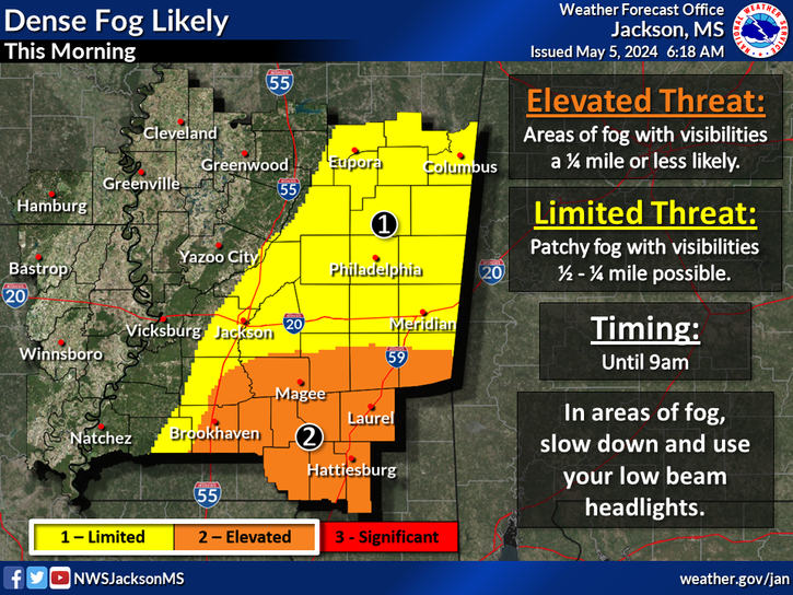 A significant severe weather outbreak is likely this afternoon into early Sunday morning. Tornadoes are likely throughout the entire region with some strong and long track tornadoes possible. Large hail and damaging wind gusts will be a significant threat as well. We advise everyone to stay weather aware this afternoon and overnight!
NWS Lake Charles
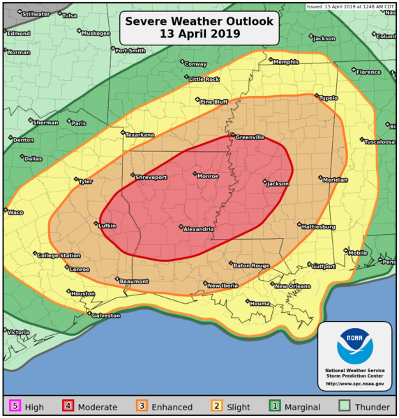
 ...THERE IS AN ENHANCED RISK OF SEVERE THUNDERSTORMS OVER PARTS OF SOUTHEAST TEXAS AND WESTERN/CENTRAL LOUISIANA...
 Severe thunderstorms will be possible Saturday afternoon/evening from southeast Texas northeastward through Louisiana and into parts of the Tennessee Valley. All modes of severe weather will be possible. This includes damaging winds, hail, tornadoes, and flash flooding.
NWS Forecast Office Shreveport, LA

 There is a risk for severe storms across much of Four State Region today and into this evening. The main threat this morning will be large hail and damaging winds. However, the threat will increase this afternoon during peak daytime heating. Tornadoes, large hail, damaging winds, and locally heavy rainfall will be possible. The severe weather threat should diminish by late this evening.

Public Severe Weather Outlook (PWO) https://www.spc.noaa.gov/products/outlook/pwo.html
 https://www.spc.noaa.gov/products/outlook/archive/2019/pwo.mp4
ZCZNote: Multimedia briefing MP4. Please note the briefing may be out of date 5 hours after its issuance and there will be no subsequent updates during the day. Please send comments or questions to spc.feedback@noaa.gov or via the feedback page.
View What is a Watch? clip.
C SPCPWOSPC ALL
   WOUS40 KWNS 130742
   ALZ000-ARZ000-LAZ000-MSZ000-TXZ000-131800-

   PUBLIC SEVERE WEATHER OUTLOOK
   NWS STORM PREDICTION CENTER NORMAN OK
   0242 AM CDT SAT APR 13 2019

   ...Severe thunderstorms expected over parts of the East Texas to
   lower Mississippi Valley region later today and tonight...

   * LOCATIONS...
     Central and northern Louisiana
     Mississippi
     East Texas
     Southern Arkansas
     Western Alabama

   * HAZARDS...
     Several tornadoes, a few intense
     Widespread damaging winds
     Scattered large hail, some baseball size

   * SUMMARY...
     Numerous severe thunderstorms capable of producing tornadoes,
     wind damage and large hail, are expected across parts of east
     Texas, Louisiana, southern Arkansas, Mississippi, western
     Alabama and surrounding areas today and tonight. The greatest
     risk is from east Texas to central Mississippi.

   Preparedness actions...

   Review your severe weather safety procedures for the possibility
   of dangerous weather today. Stay tuned to NOAA Weather Radio,
   weather.gov, or other media for watches and warnings. A tornado
   watch means that conditions are favorable for tornadoes to form
   during the next several hours. If a tornado warning is issued for
   your area, move to a place of safety, ideally in a basement or
   interior room on the lowest floor of a sturdy building.

   &&

   ..Edwards.. 04/13/2019
Inscription à :
Articles (Atom)