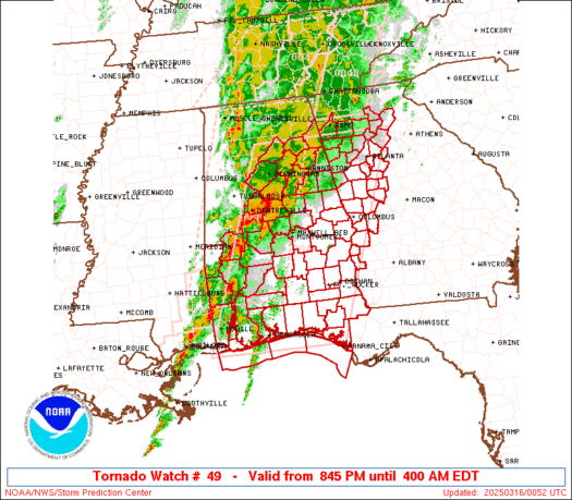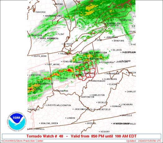
 URGENT - IMMEDIATE BROADCAST REQUESTED
 Tornado Watch Number 49
NWS Storm Prediction Center Norman OK
150 AM CDT Sat Apr 13 2019
The NWS Storm Prediction Center has issued a
* Tornado Watch for portions of
Southwest and south-central Texas
* Effective this Saturday morning from 150 AM until 900 AM CDT.
* Primary threats include...
A couple tornadoes possible
Scattered large hail and isolated very large hail events to 3
inches in diameter possible
Scattered damaging wind gusts to 70 mph possible
SUMMARY...A gradual increase in convection has been noted across the
area in an environment conditionally favorable for supercells and
tornado potential, along and south of a warm front. The threat
should increase through early/mid morning as lift and moisture each
strengthen.
The tornado watch area is approximately along and 80 statute miles
either side of a line from 60 miles northwest of Del Rio TX to 45
miles north northeast of Hondo TX. For a complete depiction of the
watch see the associated watch outline update (WOUS64 KWNS WOU9).
PRECAUTIONARY/PREPAREDNESS ACTIONS...
REMEMBER...A Tornado Watch means conditions are favorable for
tornadoes and severe thunderstorms in and close to the watch
area. Persons in these areas should be on the lookout for
threatening weather conditions and listen for later statements
and possible warnings.
&&
OTHER WATCH INFORMATION.
   URGENT - IMMEDIATE BROADCAST REQUESTED
   Severe Thunderstorm Watch Number 48
   NWS Storm Prediction Center Norman OK
   130 AM CDT Sat Apr 13 2019

   The NWS Storm Prediction Center has issued a

   * Severe Thunderstorm Watch for portions of
     West-central and southwest Texas

   * Effective this Saturday morning from 130 AM until 900 AM CDT.

   * Primary threats include...
     Scattered large hail and isolated very large hail events to 2
       inches in diameter possible
     Isolated damaging wind gusts to 70 mph possible

   SUMMARY...Thunderstorms should increase in coverage and intensity
   across the area through the remainder of the pre-dawn hours, as both
   moisture and lift strengthen near a surface low and north of a warm
   front.  Hail is the main threat, though sporadic damaging gusts may
   penetrate to the surface.

   The severe thunderstorm watch area is approximately along and 60
   statute miles north and south of a line from 55 miles southwest of
   Midland TX to 15 miles north of Brownwood TX. For a complete
   depiction of the watch see the associated watch outline update
   (WOUS64 KWNS WOU8).

   PRECAUTIONARY/PREPAREDNESS ACTIONS...

   REMEMBER...A Severe Thunderstorm Watch means conditions are
   favorable for severe thunderstorms in and close to the watch area.
   Persons in these areas should be on the lookout for threatening
   weather conditions and listen for later statements and possible
   warnings. Severe thunderstorms can and occasionally do produce
   tornadoes.
Aucun commentaire:
Enregistrer un commentaire